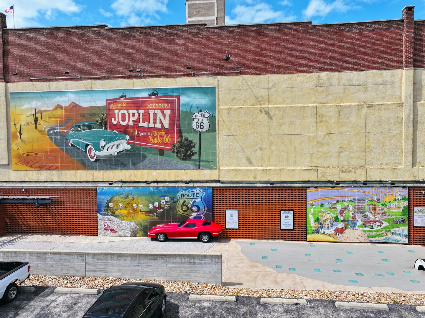
Route 66 Mural Park
As “America’s Longest Museum,” Route 66 offers visitors a deep-rooted sense of Americana. Historic Route 66 brought travelers through the heart of Joplin in the mid-20th century. Our city became a popular stop on the highway, and businesses along Main Street flourished because of it.
Today, on the same street, Route 66 Mural Park pays homage to that nostalgic era with three large tile murals.
Cruisin’ into Joplin (upper)
What is more nostalgic than a classic car and a billboard? This mural illustrates a welcome to guests cruisin’ into Joplin from the west, beginning their 317-mile journey across Missouri Route 66.
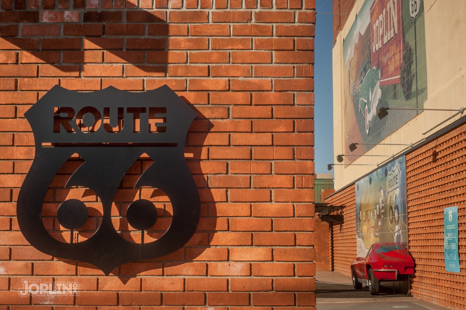
The American Ribbon (lower left)
This mural depicts a Route 66 map and shows how the historic route connects Joplin to the Great Lakes and the Pacific Ocean. Annually, hundreds of Mother Road enthusiasts, domestic and international alike, take their keepsake photos in front of the red mock 1963 Corvette.
Both murals were designed by artists Chris Auckerman and Jon White.
Route 66 Tri-state Corridor (bottom right)
For decades, the Joplin region carried the moniker of the Tri-state Mining District, referring to the lead and zinc mining district in southwest Missouri, southeast Kansas, and northeast Oklahoma. Production began in the mid-1800s in the Joplin area of Jasper County in southwest Missouri. Later discoveries extended mining operations into portions of Kansas and Oklahoma. The district’s mines produced lead and zinc for over 75 years. Today, the Route 66 Tri-state Corridor encompasses the former mining routes from east to west: Carthage, Carterville, Webb City, and Joplin in Missouri; through Galena, Riverton, and Baxter Springs in Kansas; and to Quapaw, Commerce, Miami, and Afton in Oklahoma.
-
Amenities
Amenities
- On Route 66
Route 66 Mural Park619 S. Main Street, Northeast corner
Joplin, Missouri 64804